User account menu

  • Log in
Home
Mid Shuswap Water Stewards
Surface water testing in the Middle Shuswap watershed

Main navigation

  • Home
  • Project
  • Field Trips
  • About
    • Water Variables
    • Database
      • Search
      • Site IDs / GPS
  • Export
  • Feedback

Mid Shuswap

Breadcrumb

  • Home
  • Mid Shuswap

Primary tabs

  • View
  • Revisions
MS
River

at Sugar Lake Bridge

Mid Shuswap
29
50.35477, -118.5391
  • Read more about at Sugar Lake Bridge

below Shuswap Falls (Wilsey Dam)

Mid Shuswap
12
50.298295, -118.817788
  • Read more about below Shuswap Falls (Wilsey Dam)
Location

at Sihlis Rd

Mid Shuswap
20
50.31415, -118.57935
  • Read more about at Sihlis Rd

at BCHydro Picnic Site

Mid Shuswap
15
50.26055, -118.76308
  • Read more about at BCHydro Picnic Site

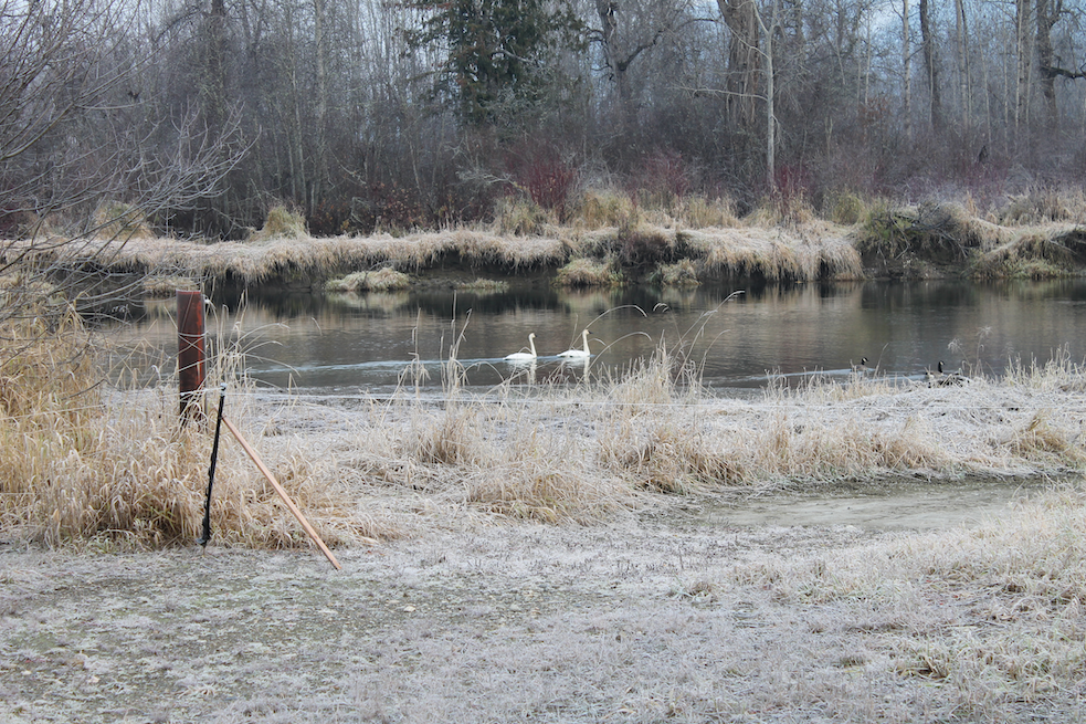
at Oddfellows campground

Mid Shuswap
01
50.428781, -118.754154

Upstream of estuary into Mabel Lake
  • Read more about at Oddfellows campground
Location
Subscribe to Mid Shuswap

Footer menu

  • Contact
Powered by Drupal

Copyright © 2025 MSWS Duke of URL - All rights reserved

Theme developed by Alaa Haddad