User account menu

  • Log in
Home
Mid Shuswap Water Stewards
Surface water testing in the Middle Shuswap watershed

Main navigation

  • Home
  • Project
  • Field Trips
  • About
    • Water Variables
    • Database
      • Search
      • Site IDs / GPS
  • Export
  • Feedback

Bessette

Breadcrumb

  • Home
  • Mid Shuswap
  • Bessette

Primary tabs

  • View
  • Revisions

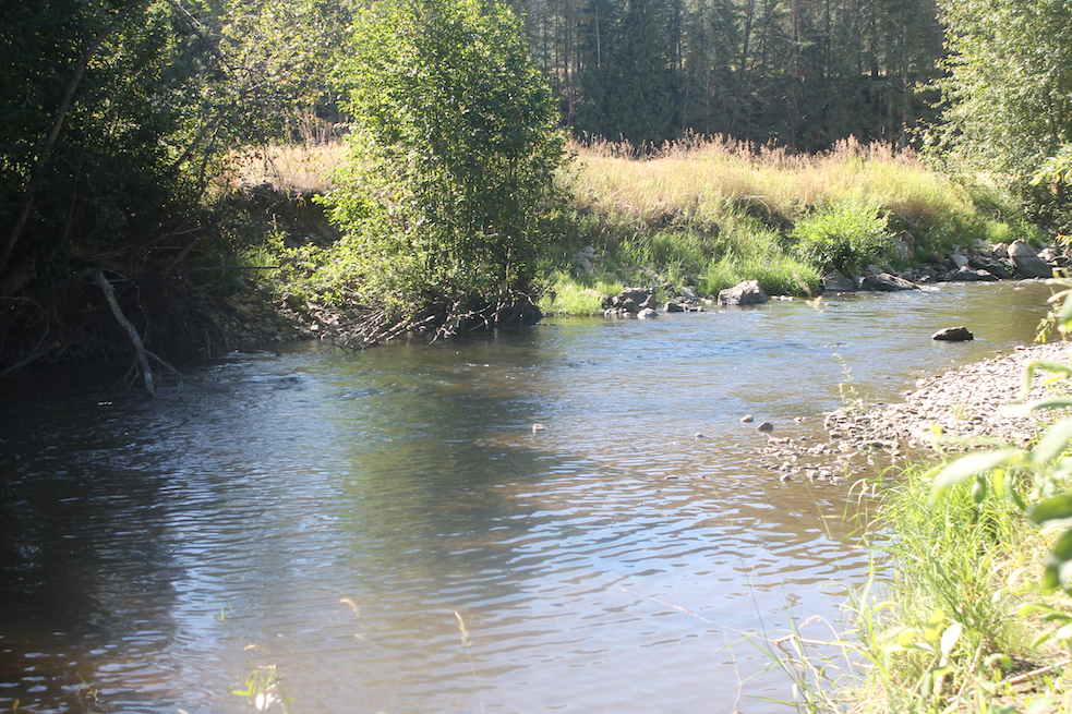
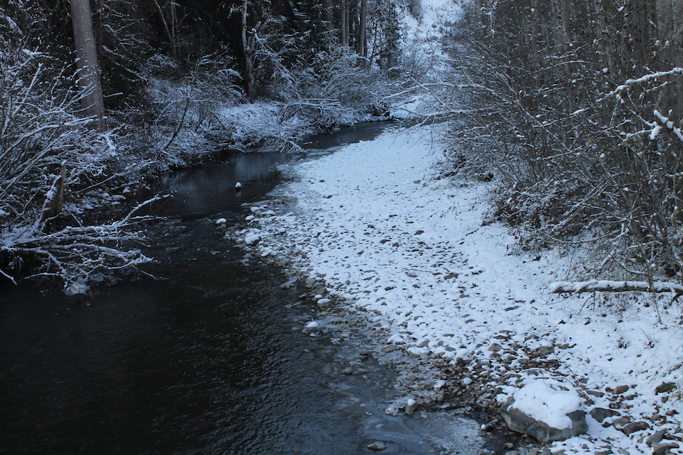
Flows from the Aberdeen plateau to the Shuswap River below Shuswap Falls.

There is confusion as to the extent of Harris Creek vs Bessette. The Provincial EMS data set at https://governmentofbc.maps.arcgis.com/apps/webappviewer/index.html?id=0ecd608e27ec45cd923bdcfeefba00a7 contains results for sampling of Blue Springs Creek at its mouth into Harris Creek (EMS ID: E274293), and similarly for the mouth of Creighton Creek (EMS ID: E274289). Yet  that same map shows a label Bessette Creek just upstream of those points, so the database here shows that those creeks empty into Bessette, not Harris, and is in concurrence with local nomenclature.

BE
Creek
Transcribed Test Results 2013 - 2024
Ambient Water Quality Objectives 1991
- Technical Appendix 1991
- Attainment Summary 2008
Bessette Creek and Salmon River Sensitive Habitat Atlas

near Bell Pole burner

Bessette
18
50.2408, -118.9589
  • Read more about near Bell Pole burner
E210219

100m downstream of Highway 6

Bessette
16
50.2495, -118.9573
  • Read more about 100m downstream of Highway 6
E275343

at Riggins Rd

Bessette
03
50.2978, -118.8594
  • Read more about at Riggins Rd
Location, from bridge
E339427

at Mabel Lake Rd

Bessette
07
50.288293, -118.923315

West side, south of bridge

  • Read more about at Mabel Lake Rd
Location, from bridge

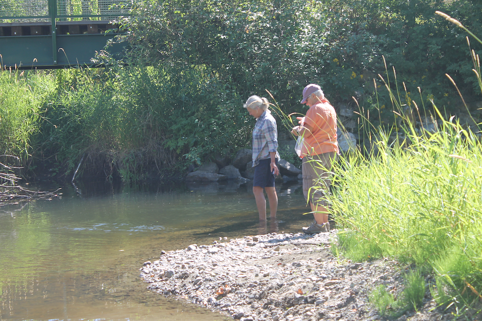
at Highway 6

Bessette
17
50.24856, -118.95603

West side, just upstream of Hwy 6 bridge and Blue Springs Creek mouth
  • Read more about at Highway 6
Location
Subscribe to Bessette

Footer menu

  • Contact
Powered by Drupal

Copyright © 2025 MSWS Duke of URL - All rights reserved

Theme developed by Alaa Haddad