User account menu

  • Log in
Home
Mid Shuswap Water Stewards
Surface water testing in the Middle Shuswap watershed

Main navigation

  • Home
  • Projects
  • Field Trips
  • About
    • Water Variables
    • Database
      • Search
      • Site IDs / GPS
  • Export
  • Feedback

Blue Springs

Breadcrumb

  • Home
  • Mid Shuswap
  • Bessette
  • Blue Springs

Primary tabs

  • View
  • Revisions

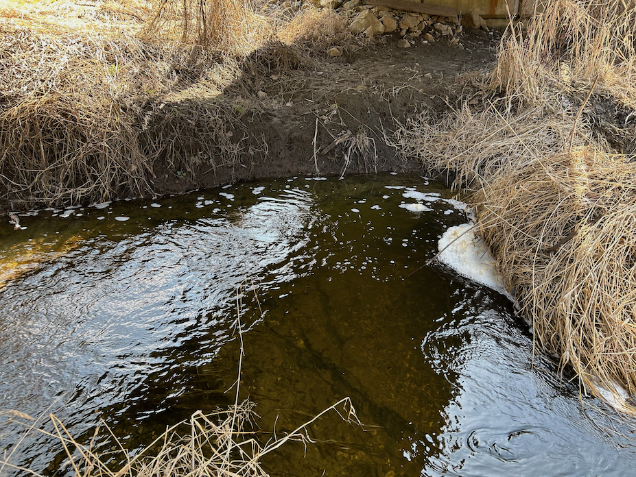
Flows from the Aberdeen plateau to the bottom of Bear Valley Rd and then parallel to Highway 6 to Bessette Creek.
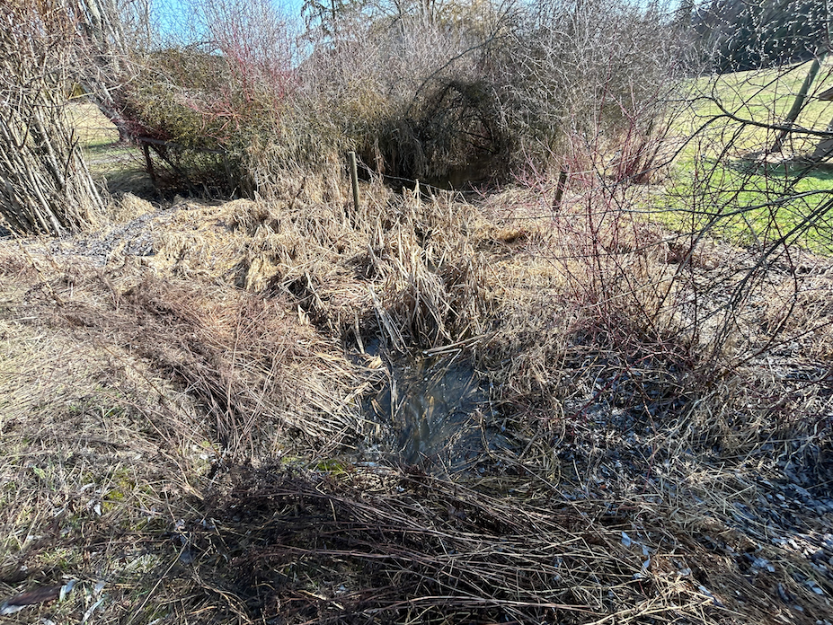
There is scarcely a tree anywhere near its riparian for 12 km along the valley bottom through farmland.
Fecal pollution (cattle) may be greatly attenuated by the cattails which line its course through the entire valley.

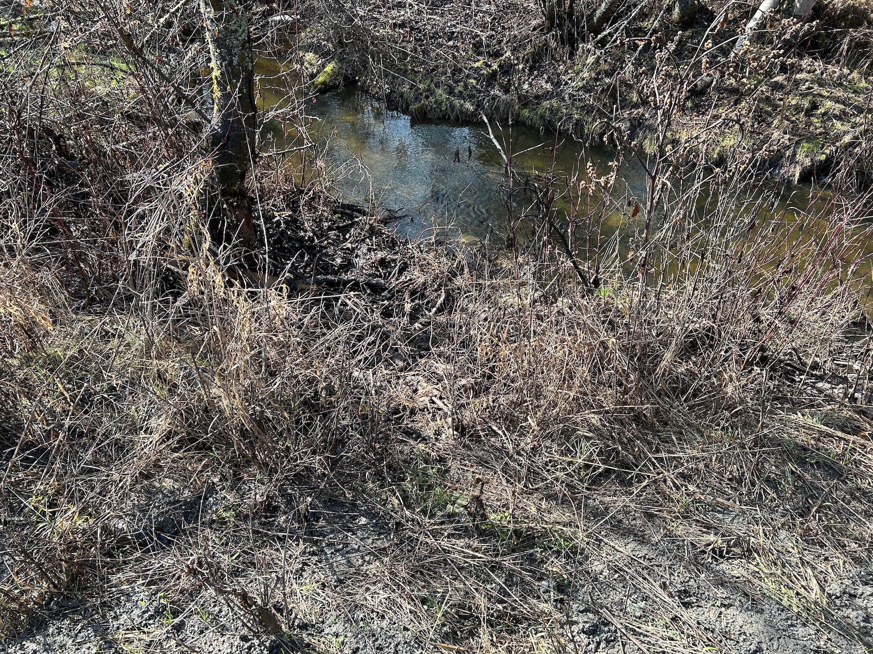
BS
Creek

at Gibson Rd

Blue Springs
17
50.25083, -118.87528

Watch out for nettle approaching stream
  • Read more about at Gibson Rd
from Road

at mouth into Bessette

Blue Springs
00
50.24861, -118.95556
  • Read more about at mouth into Bessette
Location

at Blue Springs Rd

Blue Springs
13
50.24833, -118.90556
  • Read more about at Blue Springs Rd
Location

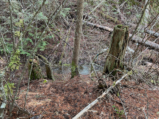
at Bear Valley gate

Blue Springs
21
50.248, -118.779

Barbara Fresz & Jurgen Deschner
592 Bear Valley Rd, V0E 2G1

Alongside pullout before gate

Densely wooded riparian
Dries up in summer
 

  • Read more about at Bear Valley gate
Location
Subscribe to Blue Springs

Footer menu

  • Contact
Powered by Drupal

Copyright © 2025 MSWS Duke of URL - All rights reserved

Theme developed by Alaa Haddad